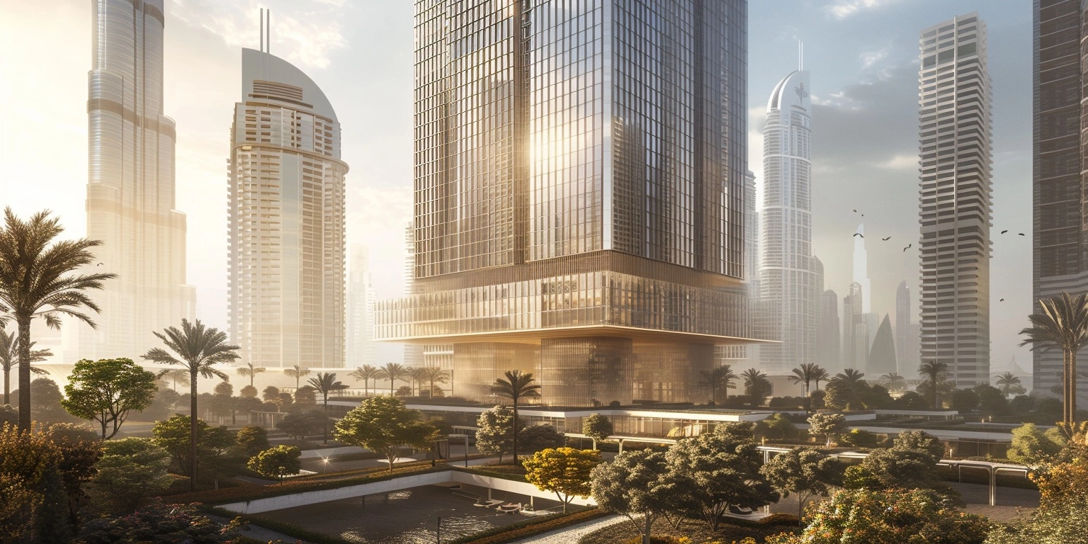
In the dynamic landscape of urban development, stakeholder engagement and effective communication are key to success. Augmented Reality (AR) emerges as a transformative tool, offering innovative solutions for enhancing citizen understanding and participation in Smart City projects.
AR enables the visualization of urban development plans, providing citizens with a tangible understanding of proposed environmental changes. By uploading 3D CAD planning data to the cloud, these AR visualizations become possible, bridging the gap between complex concepts and public comprehension.
In addition to visualizing project impacts, AR can analyze climate data to identify heat islands, fostering environmentally sustainable urban design. This technology empowers citizens to actively engage in discussions about the future of their cities.

The relevance of AR in urban planning cannot be overstated. It catalyzes the transition towards smarter cities by making complex plans accessible to decision-makers, citizens, and investors alike. With AR, cities become more efficient, environmentally friendly, and livable, paving the way for a brighter future.
Furthermore, the move to cloud-based planning accelerates access to AR and other cutting-edge technologies. Platforms like Pelicad streamline the visualization process, empowering urban planners with efficient tools for design and analysis.
In conclusion, Augmented Reality holds immense potential in reshaping urban landscapes. By fostering transparency, understanding, and collaboration, AR paves the way for smarter, more sustainable cities that prioritize the needs and well-being of their residents.
RELATED POSTS
